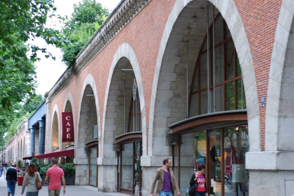
In Paris, the Viaduc des Arts is impressive in various dimensions. From the street, its stately arches stand out from the city—not in a bad way, but they provide a different streetscape than the prototypical Parisian boulevard. Above, the viaduct carries a tree-path. You never forget you are in one of the largest cities in the world, but it is a very unique space, and quite different than the various Places and Gardens of the city.
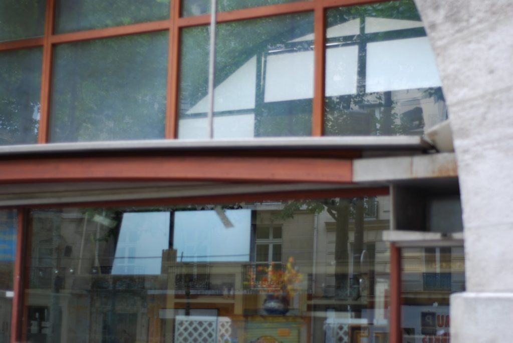
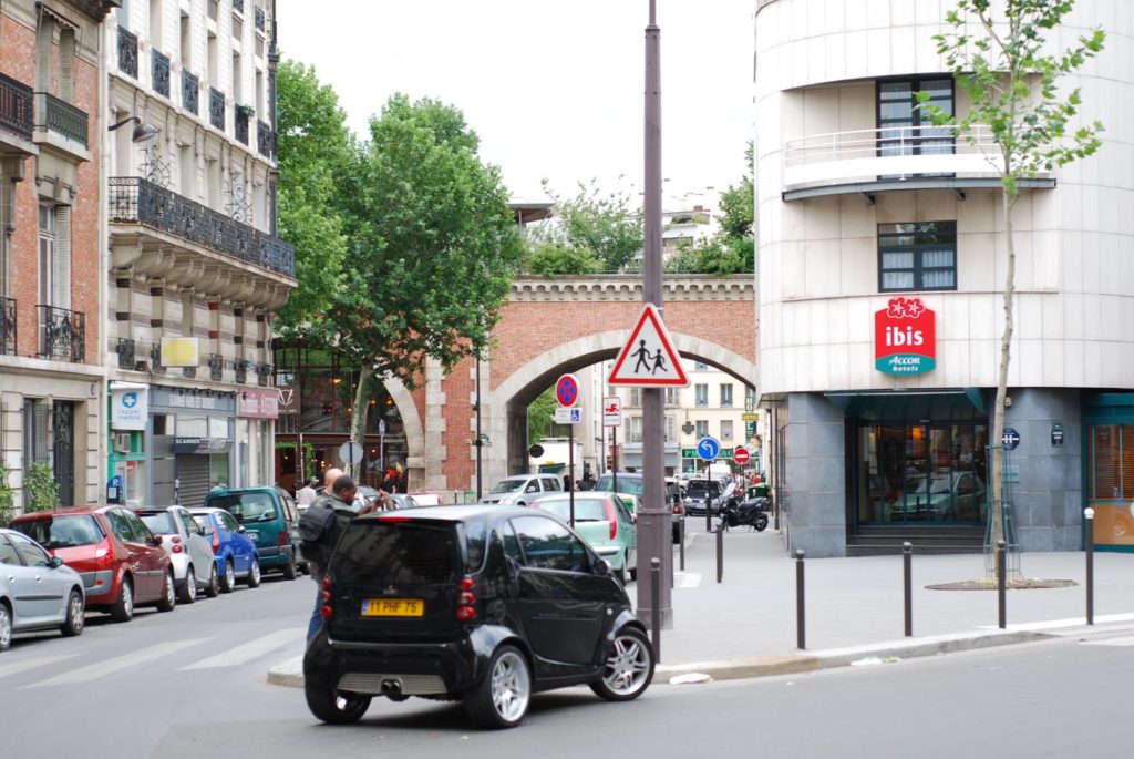 The Viaduc is rather transparent—underpasses are wide and high enough that they stay rather bright. The arches themselves are even translucent; in some you can look in one window and out the other.
The Viaduc des Arts was originally built during the Hausmannian period of Parisian redevelopment in the 1800s, as the innermost link of a Paris-Strasbourg railroad (which, several iterations later, is now served by a superfast TGV line). Using techniques of the mid-1800s, the viaduct was built with dozens of handsome arches along Avenue Daumesnil east of Place de la Bastille. As Paris grew, many railroad stations were built, most of them with multi-track mainlines serving them. The station at the end of the viaduct, however, only had the two tracks on the viaduct, and, since it was across the street from the monstrous Gare de Lyon. With the coming of the RER, suburban services were shifted such that the viaduct no longer served passengers (and it never really served freight), and service was abandoned.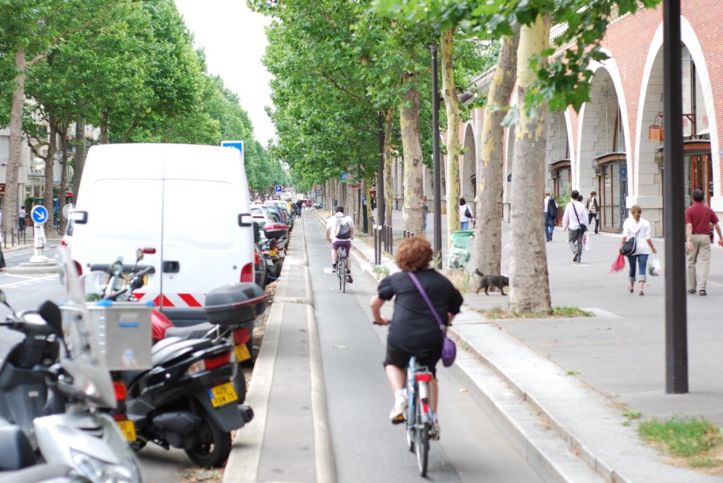 The Avenue Daumesnil, along the Viaduc, has one of many segregated bike lanes in Paris. The eastern end of the Viaduc is much more modern, and this building was built to interface with the space.
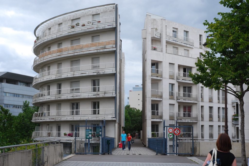
For twenty years, the viaduct sat. Weeds grew on top and the structure became dilapidated, but by all accounts was rather sound. There were plans to demolish the structure, but they were never carried forth. The viaduct, built of red brick and yellow stone, is quite attractive, and the arches allow though significant light, so it is seen as neither a major barrier or a cause for blight (at least, other than the “weed infested” former track bed). In the 1990s, its potential was foreseen, and by the end of the decade, it had been transformed in to the Viaduc des Arts.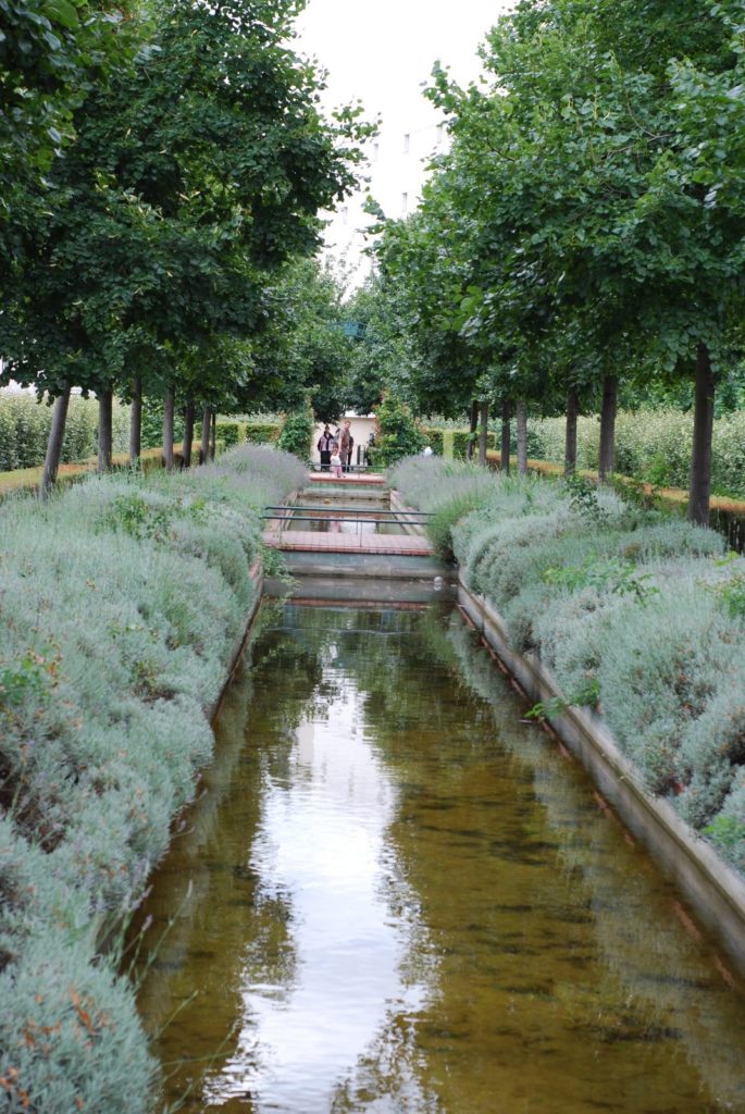 Believe it or not, this watery, green scene is thirty feet above the streets of Paris, almost adjacent to the busy Gare de Lyon
The amazing part of the viaduc is that it has been rehabilitated on two levels. In many cases, the areas below elevated structures are used for parking—there are few other uses for the small plots of land below noisy and/or ugly railroad lines. In the case of the Viaduc des Arts, approximately one sixty-fourth of the structure is still used in this manner—albeit as an entrance to an underground parking garage. The rest of the arches have been transformed in to mostly art studios, although there are some cafes and other stores. Considering the popularity of loft spaces with the artistically-inclined, the bare-brick arches offer such airy confines in a unique setting. In fact, the “arts” portion of the viaduct generally refers only to the street-level portion of the structure.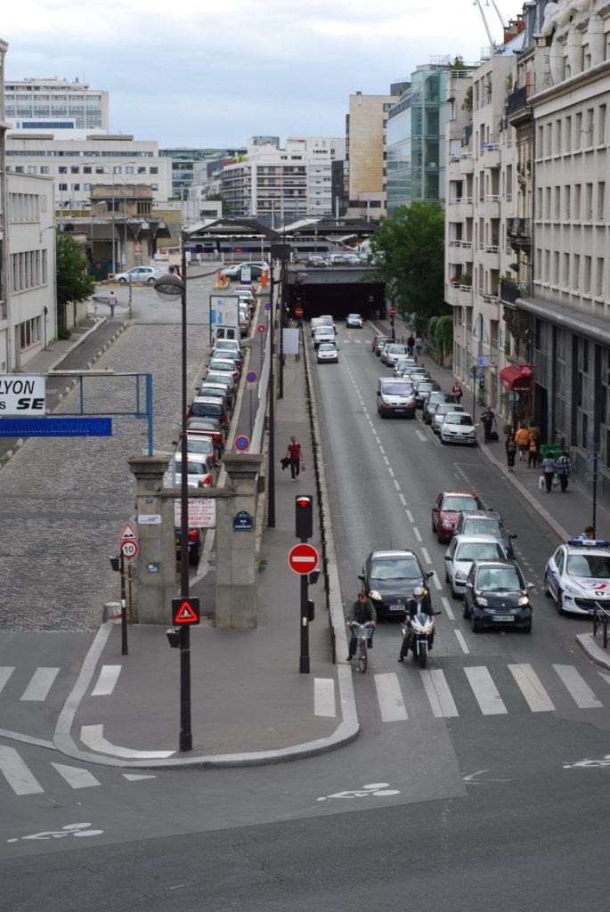 From several gaps along the viaduct, it is possible to look towards he Seine, across the apartment blocks and railroad yards of the city.
However, the top of the viaduc was not ignored. A series of staircases were built from street level up approximately thirty feet, and the top of the structure is now known as the “Promenade Plantee.” From weeds, the structure has been changed to a linear park above street level, with a narrow path and surprisingly dense foliage. This does not mean that it is disconnect from the city; the landscape seems to alternate from views of the greenery to views of the buildings and courtyards on either side (and even a few across the nearby railroad station towards the Seine). From the street below, the top of the viaduc is all but invisible—you have to move further away to realize that it is landscaped. Thus, it is possible to walk the length of the structure on the street, and then retrace your steps parallel to, and thirty feet above, the street, albeit in a completely different setting with completely different scenery.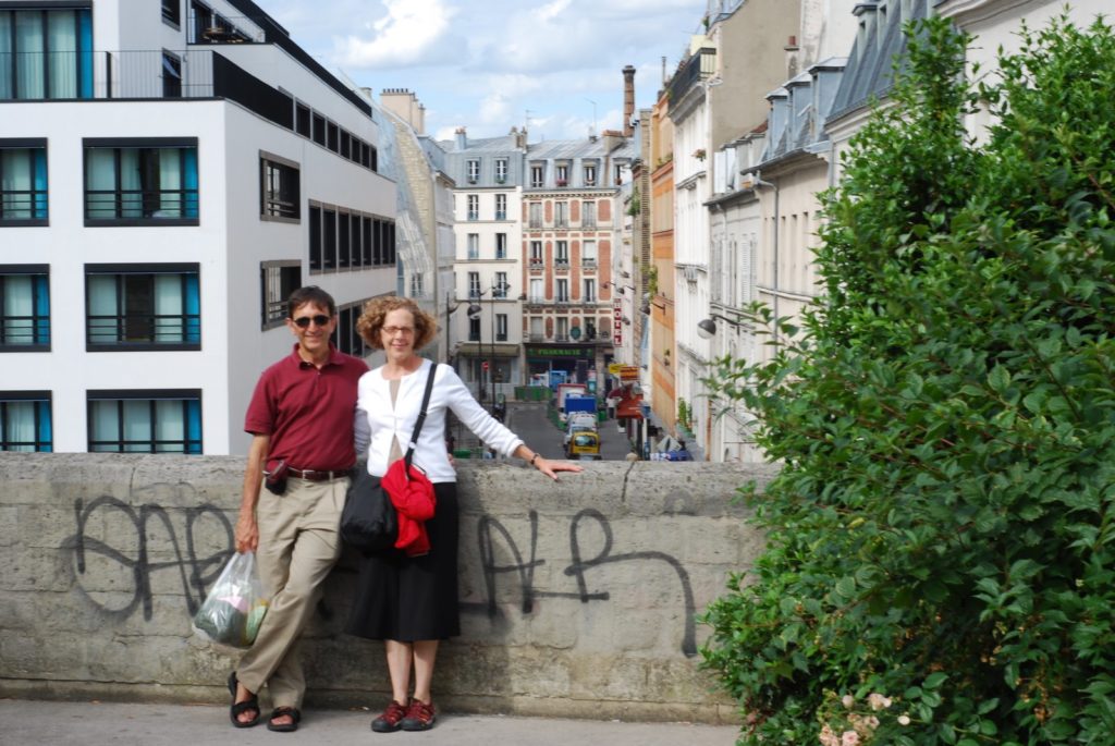 The views from the atop the viaduct, along one axis, a of a green pathway, and along a perpendicular axis they interface with the courtyards and small streets of Paris.
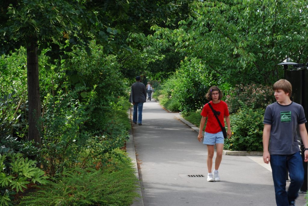
By all accounts, the Viaduc des Arts and Promenade Plantee has been a resounding success at reusing an elevated structure. The arches have been inhabited, humanizing the structure, and it provides a green space in a very dense city. (Inside the peripherique, Paris is nearly as dense as Manhattan; or to put it another way, it is as large as San Francisco with three times the people.) Parisians, and tourists, have embraced the Viaduc, and it is now a lovely place for a quiet stroll in an otherwise harried city (aside, of course, from the ubiquitous cafes). Here’s a lovely video of a Frenchwoman touring the Viaduc. Beyond the old viaduct, the linear park continues towards gardens built on old railroad yards, but it is generally at grade, and a bit less interesting.
(Part of an occasional series.)

